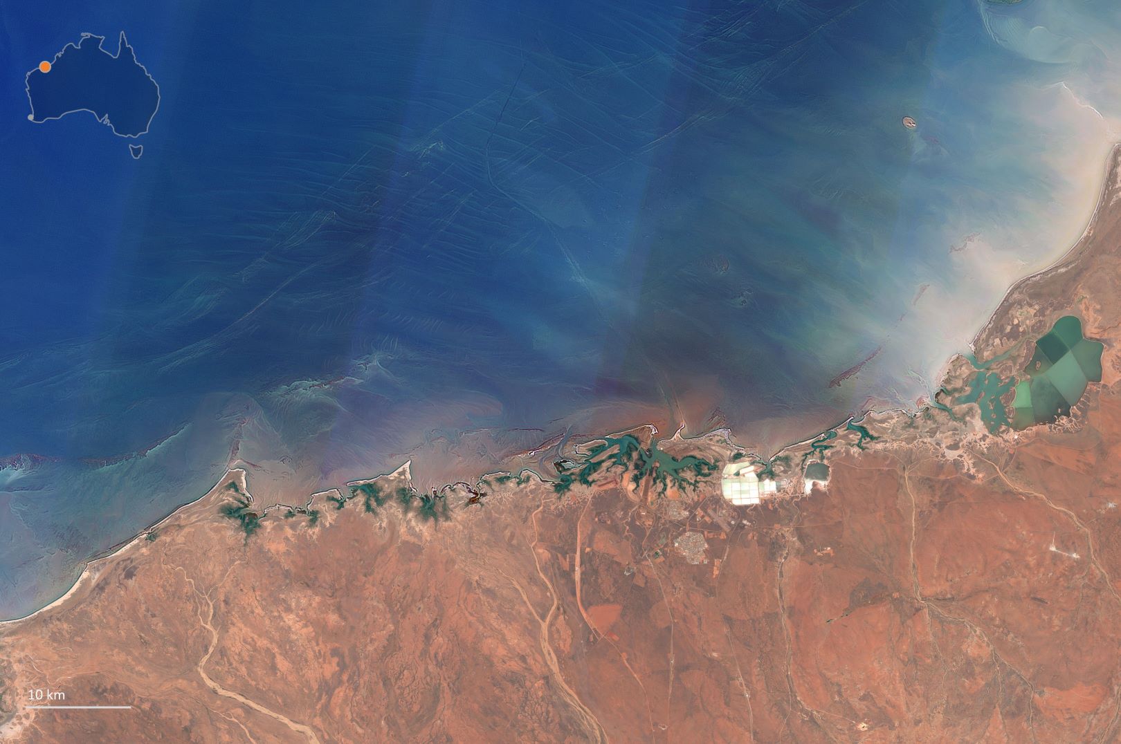
north-west coastline. Image credit: Allen Coral Atlas
Researchers are developing habitat maps of reefs in the northern Australian seascape using state-of-the-art satellite imaging technology, in an effort that will better protect the richly biodiverse habitats.
The project was officially launched in March of this year, as a collaborative initiative of the National Environmental Science Program Marine and Coastal Hub, and co-led by The University of Queensland’s Associate Professor Chris Roelfsema and Dr Eric Lawrey from the Australian Institute of Marine Science (AIMS).


